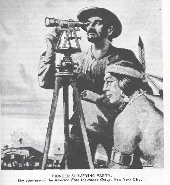
Pioneer surveying party.
(By courtesy of the America Fore Insurance Group, New York City.)
Other engineers completed the marking of some of the six square mile townships east and west of this guide line by 1831, for we find the first lands in McLean County patented that year with these new survey descriptions. Surveyors continue over our lands to this day, but the wonder is that these earliest parties marked the meridians and base lines so accurately. Illinois Central surveyors followed in 1851-52, staking off their right-of-way, and going far on each side of it to locate the lands granted the railroad, then opening for sale to settlers.5 It is fortunate for us they carefully marked on their plats the trails then in use which took direct routes across the prairies. We reproduce those local trails on our map for you.
Page 5